A circular image containing an airborne drone flying above a river and small bridge, during an aerial inspection.
Service

UAS surveying
Cost effective, safe solutions to your aerial survey requirements

A circular gif containing a close-up shot of a drone being prepared to perform an aerial survey.
Benefits

Our specialist commercial drone operators are able to map with high accuracy, dependability and repeatability

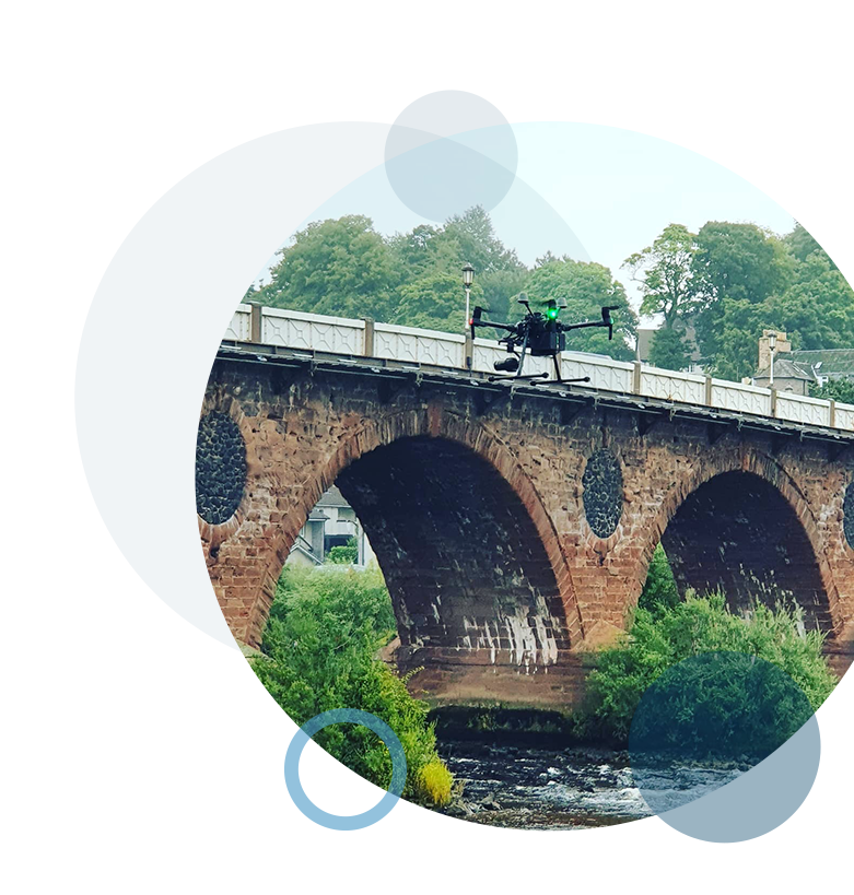
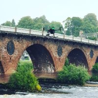
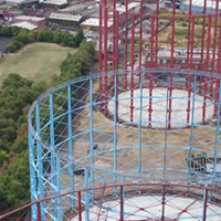
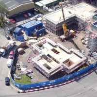
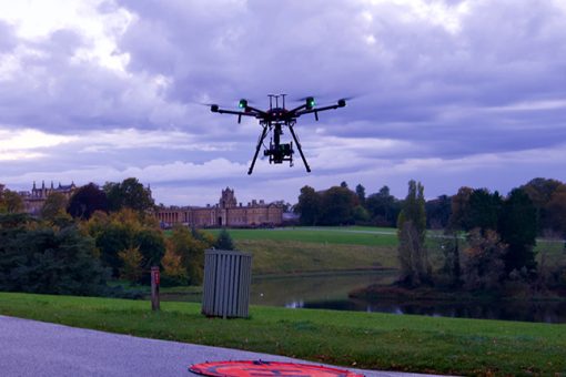
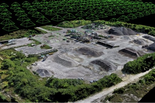
Our Remotely Piloted Air System (RPAS) can be programmed to gather repeat images from the exact previous location in the sky, allowing us to revisit a site to survey progress and change data. No matter what you are looking to survey, be it land, buildings or any other structure, our commercial drone pilots are on hand to provide the remote aerial surveying assistance you need. We can collect photogrammetry data to be able to generate various outputs, such as 3D models, georeferenced, orthomosaics, dense point cloud, digital surface models (DSM) or digital elevation models (DEM) based on the data captured from our aerial survey.

A circular gif of a tall bridge with a RUAS van in front, and a sunset in the background during an aerial inspection.
accuracy

An accurate solution to your aerial surveying needs

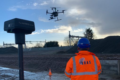
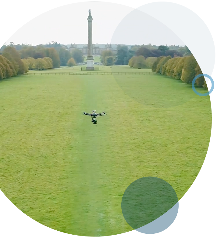
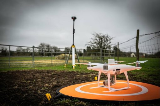
Using drones, we are able to achieve relative accuracies of less than 20mm in both the horizontal and vertical (x and y) axis, getting the data you require with nadir photogrammetry. With the addition of Ground Control Points (GCP) we can achieve accuracies of less than 10mm, and it is up to you whether you install and manage the GCPs or if our team do this for you. You can provide us the front and side overlap required along with the Ground Sampling Distance (GSD) and leave us to plan the rest. To put this into context – typical manned aircraft aerial imagery is around 12.5cm and satellite is 30-50cm resolution; this makes our flexibility and accuracy a major benefit in saving you time and money versus other conventional means.

A circular gif containing a drone shot of London, taken by the RUAS team during an aerial inspection.
qualifications

Fully accredited and qualified

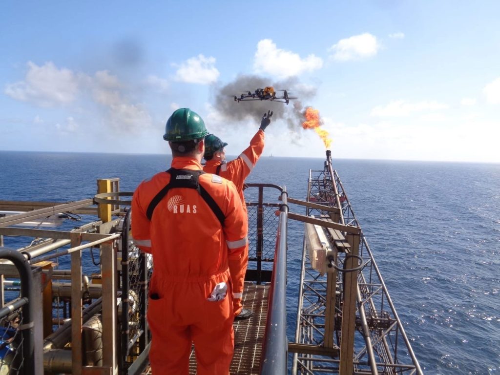
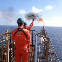
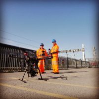
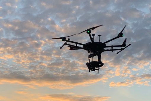
All of our Aerial Surveying is delivered by Civil Aviation Authority (CAA) accredited operators with enhanced permissions for commercial operation (PfCO) and the authority to undertake both day and night time operations using extended visual line of sight (EVLOS).

An airborne drone being flown over a river with a bridge in the background during an A2 CofC and GVC RUAS training course.

Bridges and roofs

A drone being taken-off by two RUAS trained drone pilots to perform an aerial inspection on an oil rig.

Flare stacks and oil rigs

Two RUAS trained drone pilots holding drone radio transmitters with a drone set up in front of them to capture some aerial imagery.

Rail track

An aerial drone shot of gas units. This drone is about to enter confined space.

Power lines and electricity pylons

A drone shot of a castle wall, with the city in the landscape, during an aerial inspection by RUAS.

Chimneys and buildings

An airborne drone, taking aerial images, in the middle of a park, with trees in the distance.

Wind turbines

An aerial drone shot of a construction site during an aerial inspection.

Construction

Ready to get started?

Get in touch
services

Our aerial survey services

All of our inspection services are delivered by CAA accredited operators with enhanced Permissions for Commercial Operation (PfCO) and the authority to undertake both day and night time operations using extended visual line of site (EVLOS).

A shot taken by a drone during a thermal inspection.

Thermal Inspections

Elevating inspections and surveys by capturing a fresh perspective

3D Models

Creating accurate 3D models that can show detailed insight into your assets

A RUAS trained drone pilot, in a power plant using a radio controlled transmitter to fly the drone. The drone will produce an orthomasics model of the power plant.

Orthomosaics

High-quality interactive data that brings your assets into the digital age

An airborne drone at a national trust park, producing photogrammetry images.

Photogrammetry

Create accurate point cloud for photogrammetry projects and assets safely in rapid time

A RUAS trained drone pilot unboxing a drone to form a spectral image during an inspection.

Spectral Imagery

Adaptive and reliable data for growing site analysis.

An airborne drone capturing aerial footage.

Video

Dynamic aerial footage that captures the perfect moment of your project

A circular gif of an airborne drone at a national trust park, performing an aerial inspection, with a manor house in the landscape.
experience

Experience in many industries

Rail Network
Film & TV
Oil and Gas
Utilities & Power
Military & Defence
Universities & Education
clients

We’ve helped the world’s largest companies

National History Museum logo
ITV logo
CitySurveys logo.
Highways England logo.
Hess logo
Royal Air Force logo
related

Related posts in here

A DJI Phantom 4 RTK drone ready to go airborne in a field for some surveying work in the UK.

Drone Surveying with DJI Phantom 4 RTK in the UK

We are stepping into the drone era and there is an undeniable need to upgrade the accuracy of these aerial vehicles. There are many uses for drones and today, we are talking about their implementation in the surveying and house building markets in the United Kingdom.

Read more
An aerial view of a coded 3D model, surveyed and produced by a commercial drone.

Commercial Drone Surveys | Everything You Need to Know

For years, drone distribution companies have been using UK drones to complete inspections, construction projects, media projects, and more. Leveraging this newfound power in our world that takes to the sky and mitigates danger as well as human error in the process, drone surveying is only increasing in popularity throughout our country today.

Read more
An airborne drone during a GVC transition training course.

Can we help you with your aerial survey needs?

By submitting this form you agree to the adaptable privacy policy & consent to your contact details being collected.

This website uses cookies to ensure you get the best experience on our website. Learn More