We are only as good as our results, which is why it is important to us that we capture the image/data you need. We work with you up front to ensure that we have a complete understanding of your requirements, this can include one of our team attending project planning meetings to ensure our capability meets your requirements. We have an extensive fleet of platforms, chosen for specific tasks enabling us to provide the best tool for the job whatever type of aerial work is required. We are able to work with any additional stakeholders such as architects, surveyors, construction companies or conservationists to ensure a clean and smooth process with a considered approach.
Each flight is undertaken following detailed planning* and with safety at the forefront of our processes. Our team of expert operators complete pre-flight planning prior to all flights, this includes a record of preliminary findings and a flying area survey. We operate in accordance with best practice and complete all of our pre-flight planning in a web-based system that provides complete transparency should you wish to see.
This covers a review of airspace classification, airspace restrictions, local air traffic control, potential air hazards, permissions, restrictions, sensitivities, protective equipment, training, site access, terrain, public access, ground hazards, weather, obstructions and flying area considerations.We are only as good as our results, which is why it is important to us that we capture the image/data you need.
Prior to any flight we ensure the correct permissions have been sought and granted from yourself and/or all stakeholders. We ensure that you are fully briefed, have all questions answered and are happy to proceed with the activity prior to any flight.
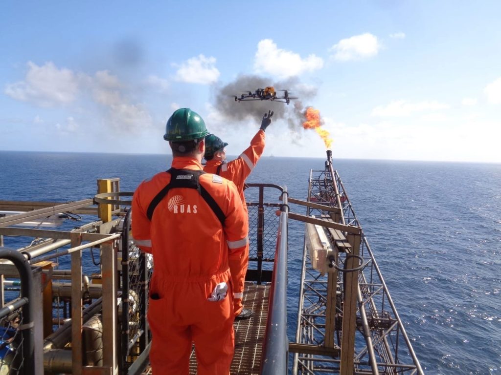
All of our pilots are CAA accredited and operate using a best practice, safety first approach. Flight time is dependent on the drone in use and can be conducted up to 48 hours. We are able to operate continuously throughout the task however long it may be and across austere terrains. Our teams deploy with two of everything required including aircraft and operators, ensuring that your task is completed. The one thing we cannot control is the weather. We remain in constant liaison with you during planning to ensure your project comes in on time and to budget.
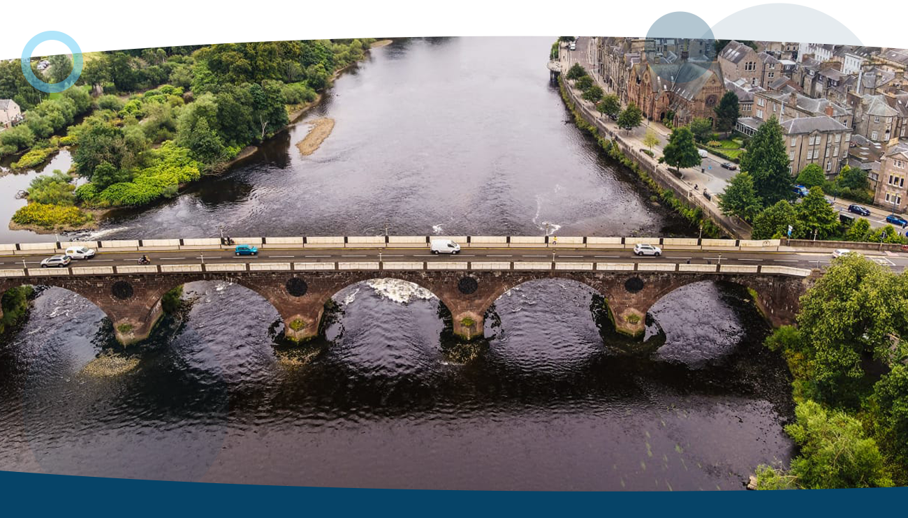
Once we have collected the imagery/data we are then able to process it into your required output. Outputs available include: high resolution stills, 4K video, thermographic data, Dense Point Clouds, Digital Elevation Models, 3D Models, Georeferenced Orthomosaic, panoramic 360 stitching. The output data is compatible with most industry recognised GIS programmes. We are also able to provide you with files compatible with Google Earth and CAD software.
Having processed the data/imagery we are able to supply you with whatever format is best suited for your work flow or client requirement. As we are part of Resource Group you can be assured of our professionalism and quality finish, with experience of working in partnership with corporate organisations across the globe.