Service
However, in many places where aerial photography is readily available, the limitations of cost and resolution coupled with poor weather conditions that limit the number of cloud-free scenes had meant that satellite imagery was rarely used.
But now, advances in the resolution of imagery over recent years have meant that this is an area the related technology of multi-spectral data captured from airborne systems has shown considerable potential.
Online tools such as Google Earth and Bing Maps provide imagery to a wider audience, however, the most detailed views available on these systems are actually derived from aerial photographs.
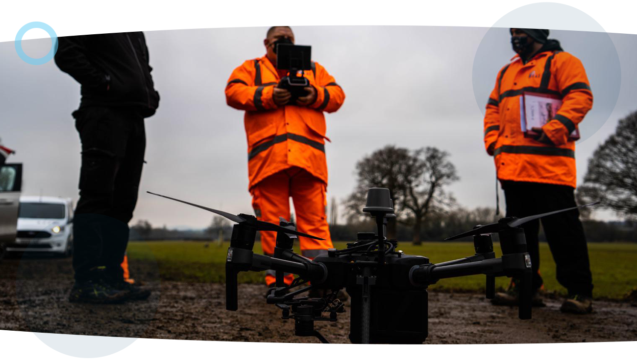
By taking advantage of this unfounded potential, RUAS is able to incorporate its aircraft with specific sensors that is capable of capturing this data, leading to ground-breaking innovation in this sector.
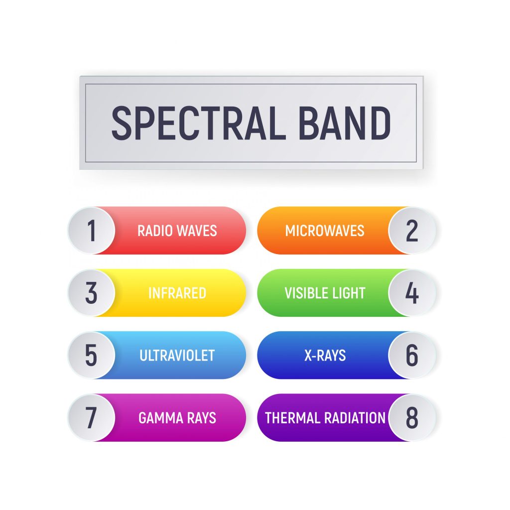
Rather than just the standard visible spectrum, Lidar and several other wavelengths can be recorded, possibly revealing features not otherwise easily discernible. This is particularly valuable for environmental monitoring, but also has some potential for site and agricultural surveys.
Multi-spectral data can also be captured from airborne platforms, and the higher resolution data available from certain systems is more useful for in-depth purposes than satellite sourced data.
As well as multispectral data airborne platforms, there is also the capacity to collect hyperspectral data. A multispectral sensor may have a number of discrete bands within the spectrum from the visible to the longwave infrared, which deals with numerous narrow bands over a continuous spectral range and allows much more subtle and varied analysis.
We have a tried and tested process that’s safe, secure and guarantees great results every time. Learn more about our process and how it can really help you.
experience