Service
RUAS excels in adapting evolving technology that meet these high standards that allow engineering professionals the chance to identify any issues of design or practicality with ease and precision that provide rapid coverage of a selected area.
Aerial surveys should be a routine part of most ground investigations for civil engineering projects and mineral exploration. The use of drone technology often represents the only way of achieving total ground coverage to ensure targets are reliably identified and imaged prior to invasive work.
Aerial engineering surveys offer remarkable value for money when compared to more conventional site investigation techniques alone. The value of the information acquired combined with the reduced cost from an optimally designed follow-up invasive investigation easily exceeds the original outlay – not to mention the reduced legal implications of failing to use all the common tools for site investigation available and missing the target as a result.
Because drone surveys are non-invasive, neither operators nor other people on site are exposed to hazardous material. Since little or no ground penetration is required geophysical surveys can be carried out in urban areas, highways or landscaped environments without disturbing the surface.
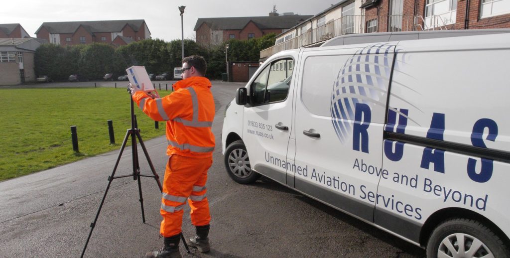
RUAS has always proudly maintained a professional and open attitude with its clients, communicating with our clients from the scope inception to execution, choosing the most efficient equipment that yields the best results every time.
We have a tried and tested process that’s safe, secure and guarantees great results every time. Learn more about our process and how it can really help you.
experience