A circular image, of an aerial drone shot taken during an infrastructure survey.
industries

Infrastructure Drone Services
Operating nationwide to give the very best in imagery, data and professionalism.

capabilities

Infrastructure by its very definition is always something that requires a well thought out and safe approach as well as the capability to succeed in certain high pressure environments.

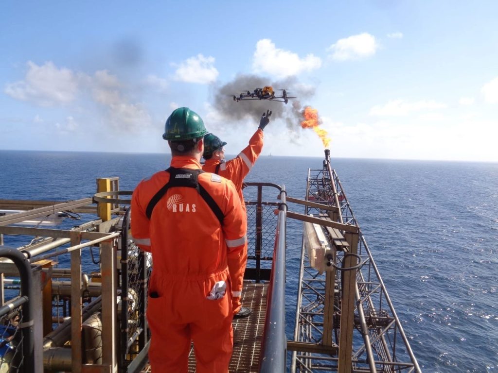
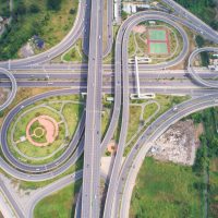
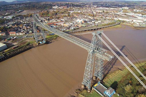
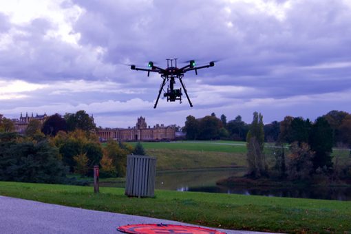
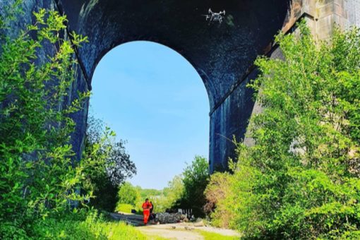
From motorways to live railway, drones are helping shape the way we tackle working within and alongside infrastructure services, circumventing costs and time as well as mitigating any risks to human safety.

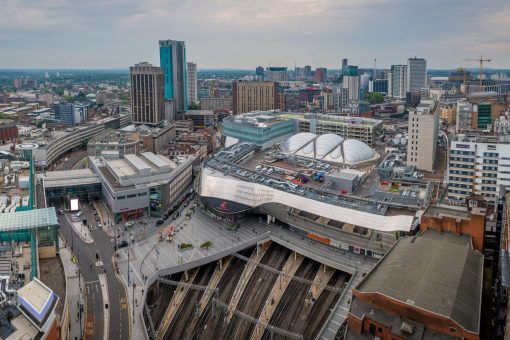
Completing essential inspection tasks and creating archives of in-depth quality data is always in high demand within any form of infrastructure, and using RUAS’ team of expert pilots, we are able to deliver the requirements that you need.

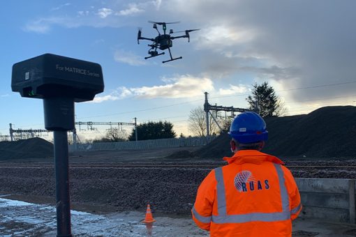
With our permissions and skilled pilots, our ability to fly where most cannot is certainly beneficial to helping you save costs on both time and money, as well as quick insight and data development for your project and operation that can prove vital to any development.

Environments and places we have worked:

Birmingham view across the city and university.

Birmingham

Bristol suspension bridge at sunset with climbers during an infrastructure drone shoot.

Clifton Suspension Bridge

A vibrant shot of the Durham City landscape and bridge during an infrastructure drone service.

Durham

A wonderful drone shot of Old town Edinburgh and Edinburgh castle in Scotland.

Edinburgh

Manchester City aerial drone view above the building work skyline construction. The sky is blue and the sun is bright.

Manchester

Panoramic landscape view of Newcastle upon Tyne.

Environment Newcastle

An aerial view of a double railway bridge in the Peak District used during infrastructure assessment.

Viaduct

Composite aerial image of traffic using a small roundabout with multiple connecting roads.

Roundabout

Aerial shot of transport landscape intersection road taken as apart of RUAS infrastructure services.

Motorway

services

Explore our infrastructure drone services


A shot taken by a drone during a thermal inspection.

Thermal Inspections

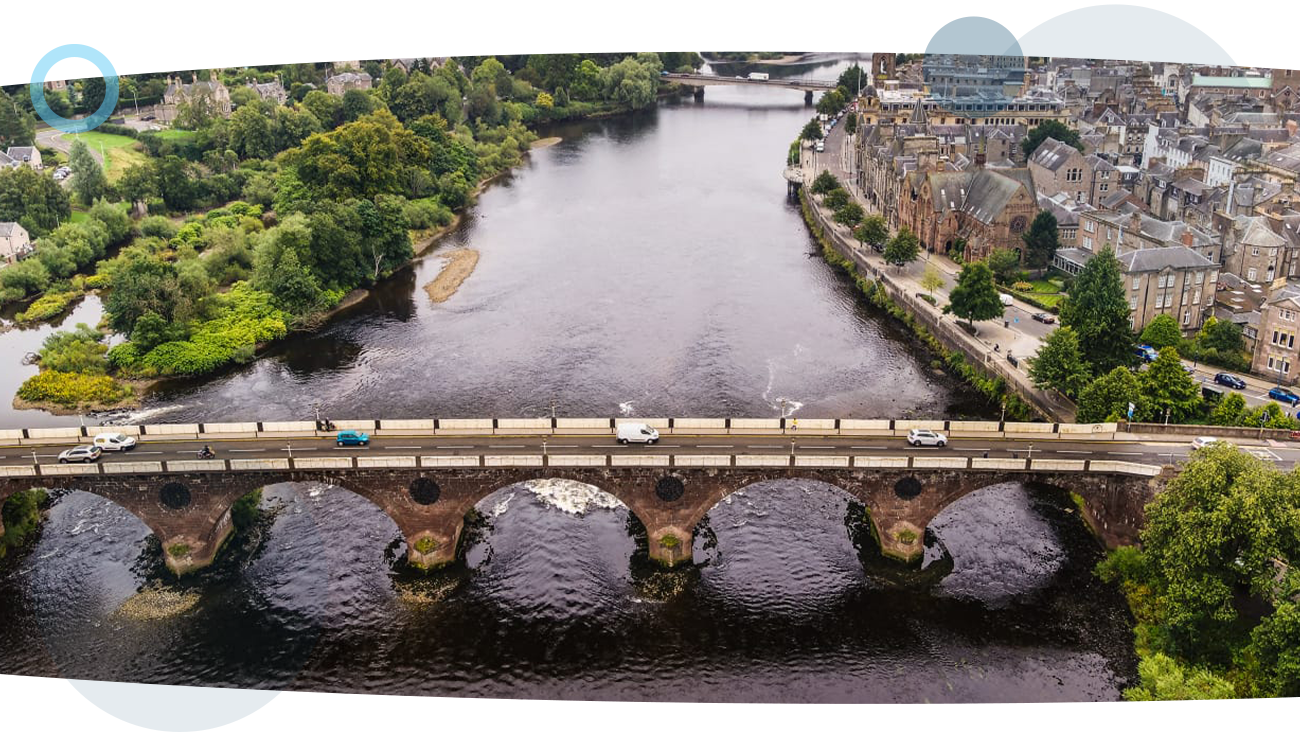
Elevating inspections and surveys by capturing a fresh perspective

An aerial drone shot of a bridge being built over a river, with the city in the landscape. This was taken during a RUAS building survey.

Building Surveys

Save costs on both time and labour by applying our expertise to your needs

Engineering Surveys

Capture accurate data with effective modern methods to help bring out the best in your project

Three RUAS trained drone pilots stood on an oil refinery taking aerial imagery.

Non-Destructive Testing

Providing risk-mitigated methods with a fast and effective process.

A RUAS trained drone pilot, in a power plant using a radio controlled transmitter to fly the drone. The drone will produce an orthomasics model of the power plant.

Orthomosaics

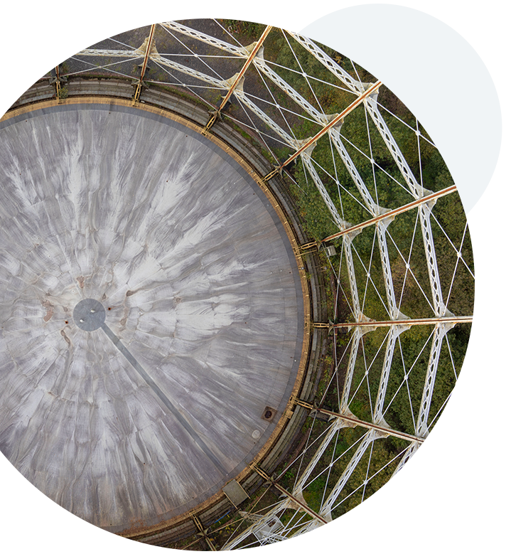
High-quality interactive data that brings your assets into the digital age

An airborne drone at a national trust park, producing photogrammetry images.

Photogrammetry

Create accurate point cloud for photogrammetry projects and assets safely in rapid time

An aerial drone shot of Birmingham City's rooftops.

Roof & Building

With aerial technology and drones so accessible today, roof and building inspection has never been easier and more efficient.

A drone in a field, preparing to take off and produce a topographical survey.

Topographical Surveys

With trusted methods and technology to capture and process the data that’s important to you quickly and effectively

A drone shot of a wind turbine and the landscape behind it, during a utility survey.

Utility Surveys

Our experience and capability can be exactly what’s needed to fully capture the highlights of your scope.

Two RUAS trained pilots walking under a large bridge with an airborne drone performing visual inspections.

Visual Inspections

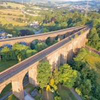
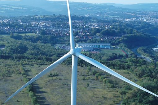
Take advantage of our quality aircraft and advanced permissions to capture imagery for visual inspections in any environment

A drone shot of a river running under a bridge, with two cities either side, captured during a RUAS oil and gas inspection.
clients

We’ve helped these infrastructure companies


NetworkRail logo
Rail Scape logo
SEP Rail Services logo

Can we help you with your commercial infrastructure drone services?

By submitting this form you agree to the adaptable privacy policy & consent to your contact details being collected.

This website uses cookies to ensure you get the best experience on our website. Learn More