A circular image of a wind turbine producing power in a field.
industries

Utilities and Power Drone Services
Fast, accurate data for valuable outputs that can make a difference to your project.

capabilities

Much like infrastructure, utilities and power dictate many vitalities of every day life and deserve to be approached with precision using only the best equipment available.

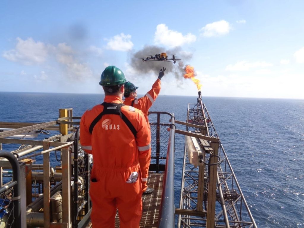
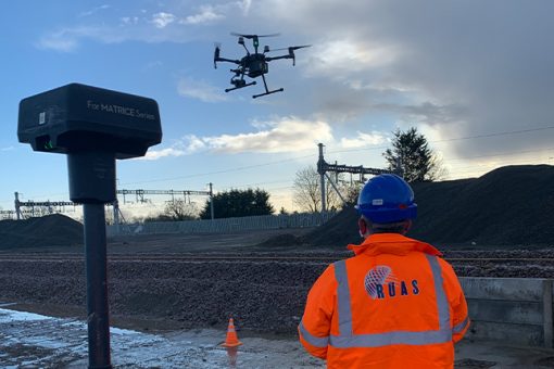
With the ease and the increasing reliance on drones to ensure the security of power supply facilities, RUAS is able to offer its highly professional services to ensure accurate results, no matter the location.

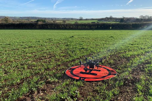
Faster than traditional methods and effectively minimising those needed on-site, unmanned aircraft technology can be deployed for monitoring, operations, and maintenance services, providing complex datasets with up to sub-5mm accuracy, leading to our clients developing bespoke solutions and insights.

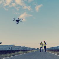
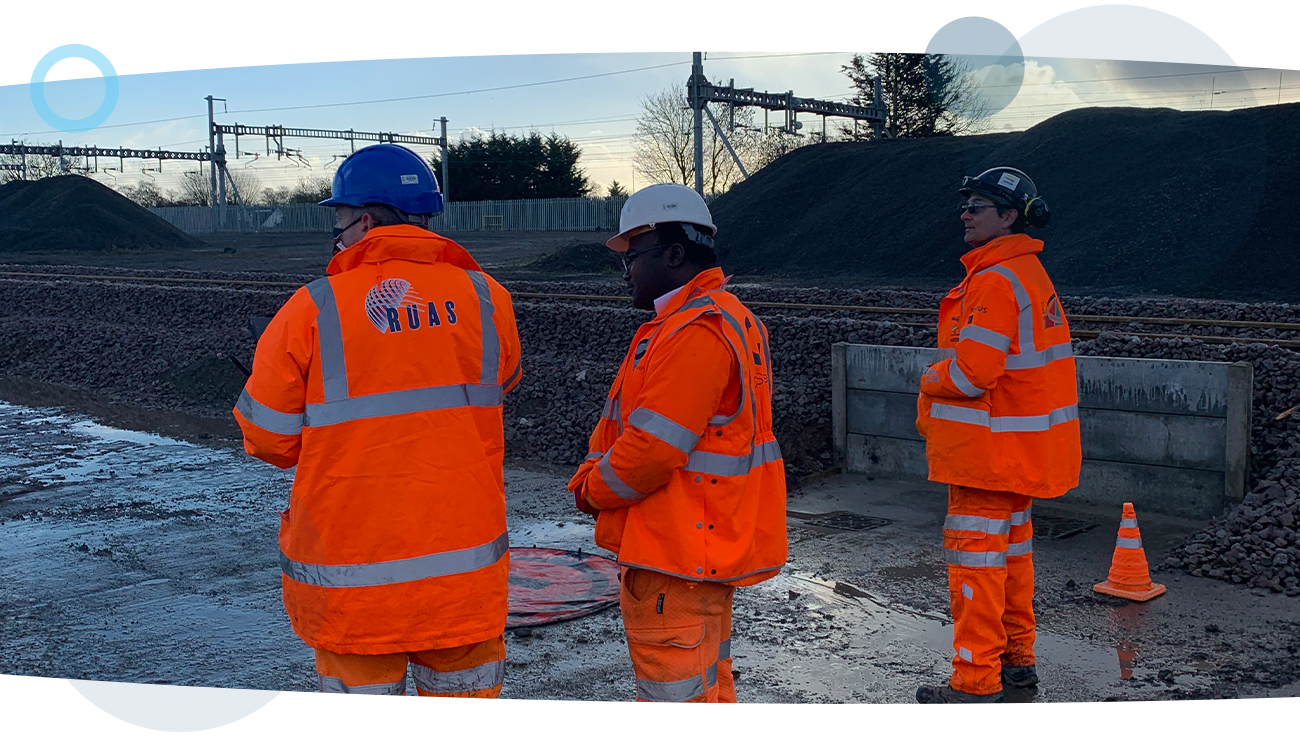
With a full team of pilots available to take on any operations in these services, we can be deployed to any location throughout the country with the finest technology, specifically chosen to what best suits our clients needs, working with them from the start.

Environments and places we have worked:

An aerial drone shot of wind turbines at sea in North Holland.

Hornsea

An aerial drone shot of a solar panel power plant farm in France.

Surrey

An aerial drone panorama shot of turbines at a large onshore wind farm in Wales.

Cornwall

Engineers inspecting solar panels at a solar power plant using drone services.

Norfolk

services

Explore our utilities and power drone services


A shot taken by a drone during a thermal inspection.

Thermal Inspections

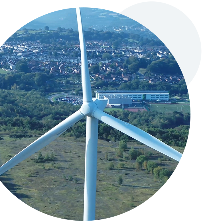
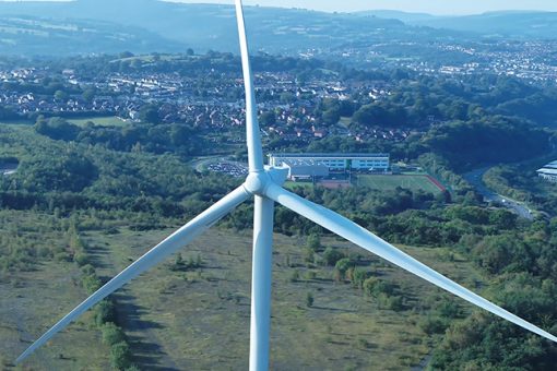
Elevating inspections and surveys by capturing a fresh perspective

A drone shot of a wind turbine and the landscape behind it, during a utility survey.

Utility Surveys

Our experience and capability can be exactly what’s needed to fully capture the highlights of your scope.

Two RUAS trained pilots walking under a large bridge with an airborne drone performing visual inspections.

Visual Inspections

Take advantage of our quality aircraft and advanced permissions to capture imagery for visual inspections in any environment

A drone in a field, preparing to take off and produce a topographical survey.

Topographical Surveys

With trusted methods and technology to capture and process the data that’s important to you quickly and effectively

A RUAS trained drone pilot, in a power plant using a radio controlled transmitter to fly the drone. The drone will produce an orthomasics model of the power plant.

Orthomosaics

High-quality interactive data that brings your assets into the digital age

A drone shot of an oil rig, taken during an offshore survey.

Offshore Surveys

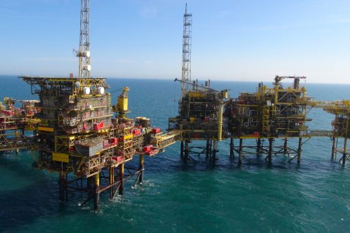
Apply the perfect solution to an offshore survey and inspections team, creating safe working practices and massive savings for clients

Engineering Surveys

Capture accurate data with effective modern methods to help bring out the best in your project

A close-up shot of a drone used for confined spaces.

Confined Space

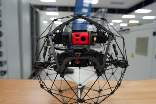
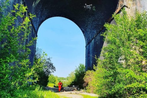
Confined space areas are often considered to be the most dangerous for those involved for a great many reasons, such as exposure to asbestos and other hazardous materials, or limited areas to work in safely.

Three RUAS trained drone pilots in high vis suits, stood at a power plant.
clients

We’ve helped these utility & power companies

Shell logo
Welsh Water logo
Associated British Ports logo
University of South Wales logo

Can we help you with your commercial utilities drone services?

By submitting this form you agree to the adaptable privacy policy & consent to your contact details being collected.

This website uses cookies to ensure you get the best experience on our website. Learn More