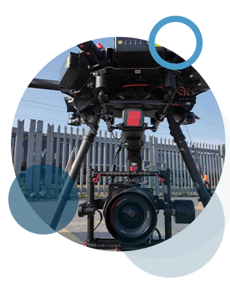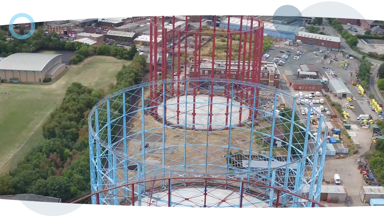
Using RUAS’ aerial surveying techniques, we will be able to help you ascertain the locations of assets such as cables and pipes that ultimately allow you to make enforced decisions fast, using bespoke aircraft and software that can create comprehensive data sets that deliver the information exactly as you need it.
The tracing and mapping of underground utilities provides a clear understanding of buried services and any potential hazards to the development. Our aerial utility surveys locate all main services including electricity, sewers, gas and water mains, fibre optics, heating, lighting cables, communication networks and traffic signalling cables.
Early identification ensures projects can progress smoothly throughout the entire design and build phase. Our data minimises the need for any follow-on excavations and is an excellent way to identify safe areas to carry out excavations, boreholes and piling.
We have a tried and tested process that’s safe, secure and guarantees great results every time. Learn more about our process and how it can really help you.
