This allows us to ideally select a suitable aircraft from our fleet and plan accordingly to create a data set of accurate high-quality imagery that enables our clients to see precise measurements and recordings of their sites, projects and assets.
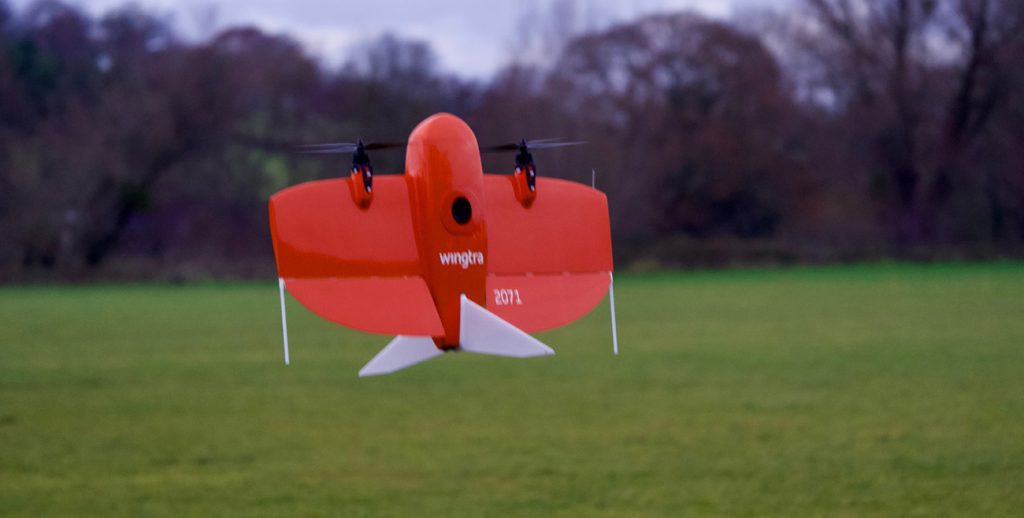
We provide professional aerial mapping and photogrammetry services for buildings and landscapes.
These can be used for a huge range of applications including providing essential coverage of locations or events, dealing with planning applications, managing natural disasters and environmental incidents, providing evidence at accident or crash sites, managing forestry, sandbanks, tidal areas, algae blooms, mapping geological areas of interest and identifying possible sites of archaeological interest.
These are created by flying a 90° grid pattern over the area to collect the required data. We can use Ground Control Points (GCPs) to ensure our maps are accurate to less than 20 centimetres and can provide full contour lines to your specification, drastically reducing the time taken it would take a traditional surveyor to achieve this.
We have a tried and tested process that’s safe, secure and guarantees great results every time. Learn more about our process and how it can really help you.
