Stitching data together with our software to create a model that shows accurate ground sampling distances that are so essential to many clients’ needs.
Ideal for ongoing project development or for internal use, the benefits of generating an orthomosaic from RUAS’ aerial data can truly be endless, and suitable to archive and display as required for your clients and colleagues.
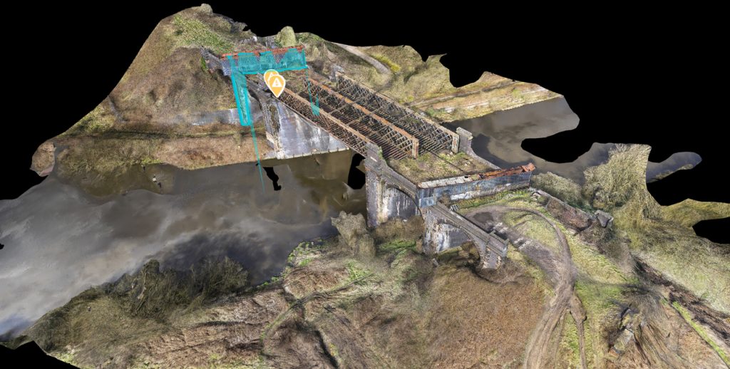
An orthomosaic (interactive drone map) is a geometrically correct aerial image that is composed of many individual still images that are stitched together. Orthomosaics provide a similar view to what you’d see in the satellite view in Google Maps. However, the data is far more accurate and up to date giving team members the critical and potentially time sensitive insights they need at the touch of a button.
The ability to zoom in and out on key points of interest, identify potential issues, and track progress, all without distorting the image is a powerful tool across many industries, including real estate, construction, property management, property inspections, and many more.
We have a tried and tested process that’s safe, secure and guarantees great results every time. Learn more about our process and how it can really help you.
