£795.00
RUAS Aerial Data Processing course is the next step in data capture for image processing of GIS data product generation through Agisoft Metashape.
The course begins with an introduction to UAV mapping and how it works discovering the varying types of sensors and their uses. We will explore the relation between resolution and accuracy and Ground Sample Distance (GSD). The course progresses to understand the role of ‘Terrain Follow’ in surveying and the importance of Survey Control with the inclusion of RTK/PPK georeferencing and GCP based georeferencing.
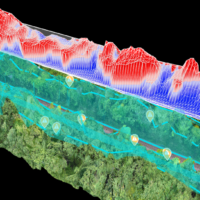
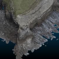
The aerial image processing steps are explained in detail from image pre-processing/post-processing to accuracy assessment including theory content providing a better understanding of Data Alignment and cleaning/ modifying the sparse cloud. Processing the acquired aerial images into a high-density Point cloud, Textured Mesh, DEM and Orthomosaics. The final stages include checking the accuracy and decimating the data.
Software requirements:
To participate in the data processing elements of the course candidates should have the use of a laptop compatible with Agisoft Metashape and with the computational power to generate 3D data, the following software should be downloaded prior to attendance on the course:
Pre-Requisites:
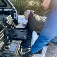
To participate in the live flying and data collection element of the course candidates should have:

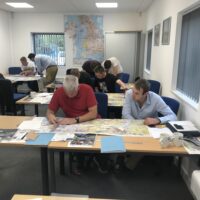

We run regular classroom based courses in Newport, South Wales, Hull and Essex. Other training locations may be available on request depending on group size. If you have more than 8 people in your group then we can arrange a location close to you.
Please just contact one of the members of the RUAS Training Academy team on 01633 746170 or [email protected] with any location queries or requests.
