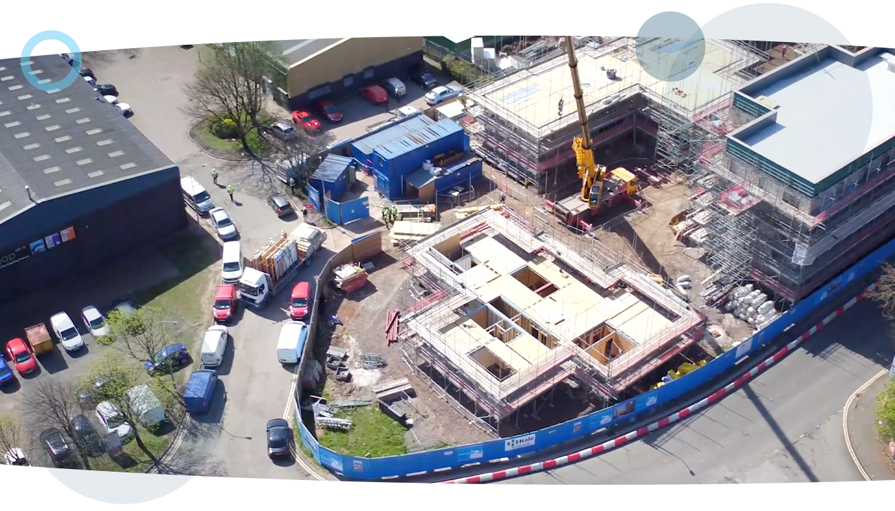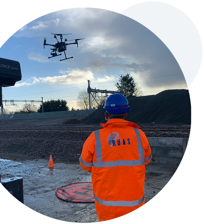
Often for those in construction, the necessity to see the entire work site and how best to plan any ongoing project and utilise resources and space can be of vital importance.
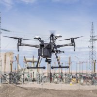
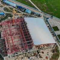
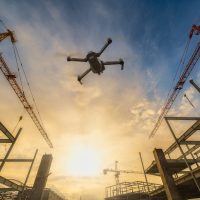
With drones, clients can easily and swiftly capture a vantage point that fully reveals exactly what they need, showing site access points, ongoing project development and general site management.
But simply speaking, this is where the benefits of using drones only begin.
Whether it’s a busy stretch of live railway, a congested worksite or an entire property portfolio, our advanced pilots can safely capture quality imagery and survey-grade data to a sub-5mm accuracy level that is unmatched in the industry – all in a fraction of the time taken by traditional survey methods.
Enhanced UAV data is seamlessly integrated into existing workflows throughout the project lifecycle, with services ranging from condition surveys, building elevations and topographical surveys to 3D Modelling, Health & Safety assessments and environmental assessments, with all data then going on to be processed through our specialised software for results that can set you and your project’s needs apart.
