Article
We are stepping into the drone era and there is an undeniable need to upgrade the accuracy of these aerial vehicles. There are many uses for drones and today, we are talking about their implementation in the surveying and house building markets in the United Kingdom.

We are stepping into the drone era and there is an undeniable need to upgrade the accuracy of these aerial vehicles. There are many uses for drones and today, we are talking about their implementation in the surveying and house building markets in the United Kingdom.
There is already quite an availability of drones on the market today is quite high. This means that there are plenty of options to choose from and they provide different features and performance levels depending on their cost. It would appear that creating a drone that people perceive as an upgrade amongst the existing models is quite difficult. However, by adding the RTK feature to the DJIP4 has enabled it possible to create a serious upgrade which has proved to show incredible results
The reason why this drone is so effective is due to the creators paying close attention to the needs of the industry. Mapping and surveying are definitely the priority with the DJI Phantom. Purchasing this particular unit just for the purpose of flight and footage would be a waste of money as the standard Phantom 4 unit is already suitable for that purpose.
Using this drone has a direct and extremely important effect on the efficiency of each project. It allows for the simplification of many operations and this means that you save both time and money for optimal results. For example, the process of setting up ground control points (GCPs) used to be very time-consuming. There is a significant reduction in the number of GCPs required when you use the DJI, and construction surveying, in general, manages to see a complete revolution with this flexible and compact drone.
The simple fact that fewer and eventually no ground control points will be a requirement process is enough to make this an exciting evolution. Using a single drone for this purpose is a great way to increase operational capacity, but deploying several drones will supercharge that efficiency to a completely new level.

The DJI Phantom has a battery life of up to 30 minutes. This might seem short, but it is a good amount of flight time for a drone of this calibre. You can map large areas within 20 to 30 minutes, so this makes this drone ideal for construction surveying and house building. The drone will gather very specific and consistent information that you can process in order to obtain optimal results.
Another of the great advantages of the DJI Phantom 4RTK is that it will know exactly where to start again should you need to stop to recharge the batteries. Once it takes flight, it will go to the exact location where it scanned and gathered data. The drone provides outstanding data on terrain modelling, volume calculation and the crucial monitoring of progress.
This drone comes with an exceptional flight control system that can make previous work much simpler. The drone will fly over these areas on autopilot and this proves to be an excellent way to keep an eye on the progress in any project. The RTK module provides improved centimetre-level data and this greatly improves image metadata, a feature that is most welcome in the industry and has made the 4 RTK a choice that has been very rewarding for a minor investment.
It’s very important to consider that drones without RTK usually need to have no less than 30 to 40 GCPs in order to provide similar results. The process of positioning these GCP takes hours during which time other complications may arise. This is no longer a problem or a factor to consider with the DJI Phantom. Real-time kinematics make a huge difference in this process. Accuracy in positioning for surveying has never been better.
Tests have provided extremely accurate measurements at five centimetres in Z and one to three centimetres in X and Y. The drone has a 20MP sensor and this allows for high-resolution mapping. Each new flight with the drone will improve the mapping in any given area because each photo acts as an aerial GCP. This means that you are able to compare the progress on site, a strong advantage which makes the Phantom an outstanding investment.
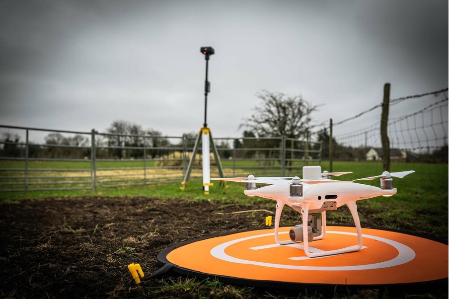
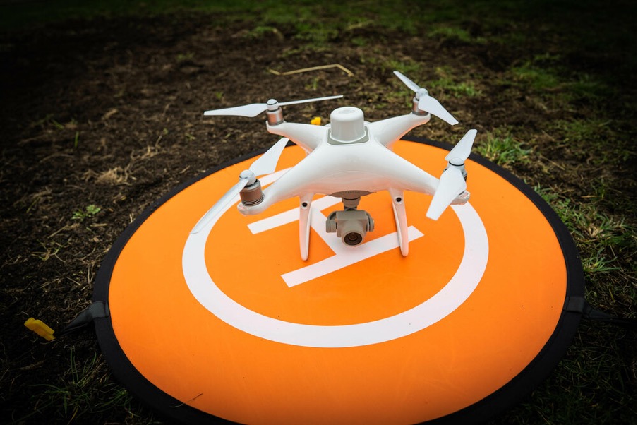
The basic package for the Phantom 4 RTK comes with the drone, controller, propellers, two high-capacity batteries, battery charger and all the standard cables needed for the unit. For those familiar with the regular Phantom Pro, the only difference is that this version has the RTK unit at the top but both drones are nearly identical in design. They both use the same camera and have the same layout of features with RTK exception.
Assembly of the propellers is extremely easy and simple. You should have no issues preparing it for flight within a few minutes, however, you do need to charge the batteries before you turn it on and take it for a test flight. With that said, this is a practical drone to unbox and assemble with ease.
Tim Harris
