Article
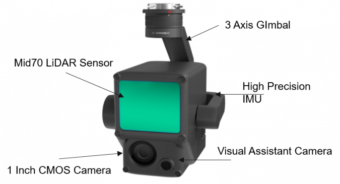
While we could probably talk in great depth about the P1 and the capability it lends us, we’re going to be looking at the L1, and how it has the potential to shape the very landscape of the UK drone industry.
In the past, Lidar sensing has traditionally been a part of extensive surveying methods, with its applications to unmanned aircraft being quite limited. This was mostly due to the drones available at the time to carry such a payload, the default one being the DJI Matrice 600. And while this may have been effective at the time – with comparable results – the pricing alone for the Lidar sensor stood to make many an upcoming aerial surveyor flinch away, with some being priced in the region of £125,000, thus stalling the untapped potential of the sector.
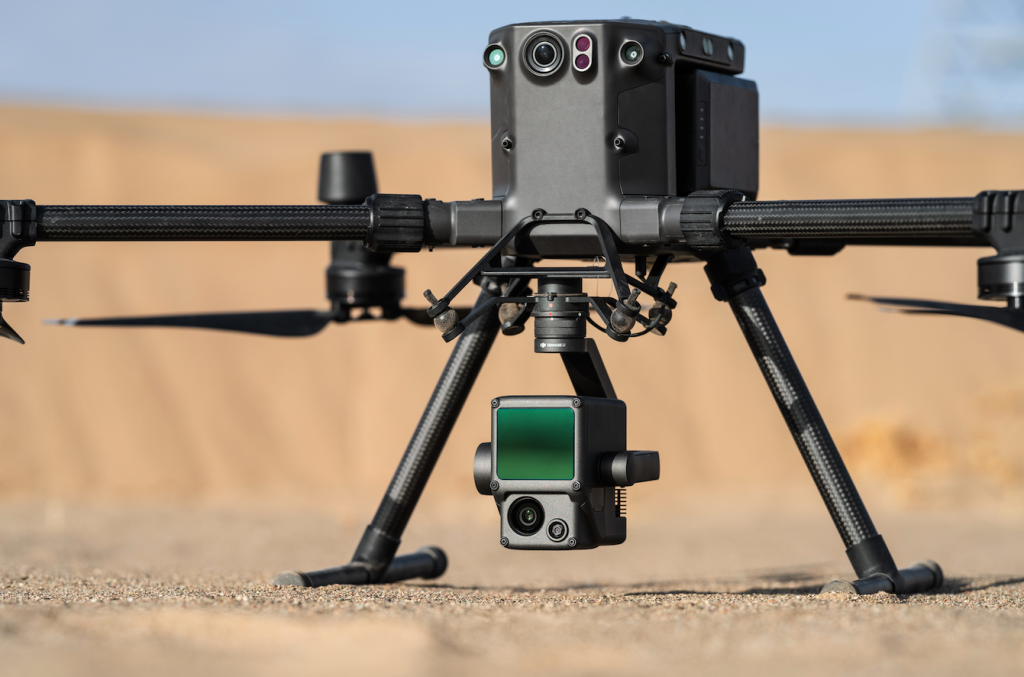
But with the L1 we see a substantial reduction in price as well as it’s compatibility with aircraft like the Matrice 300 aircraft, which can utilise flight planning software that has also evolved since its earlier incarnations. With such a potential for opportunity, we at RUAS had to seize an opportunity to conduct our own flight operations to truly demonstrate the results for ourselves.

Working in tandem with our clients at Shell and Bilfinger UK, we conducted a flight operation of Bacton Gas Refinery in Norfolk, covering the entire site with standard flight planning software while using the L1 sensor. With the intention of capturing data of the entire site, our teams were able to execute multiple flightpaths on a single aircraft in short time.
From the results, you can see that highly detailed and accurate data was captured of complex areas that wouldn’t have been achievable even perhaps as recently as last year, at least, not without some serious investment on the line.
Even as a by-product, vital and integral data was captured of nearby coastal erosion, a truly essential part for any shore-based site (obviously) but to supply it with such accuracy really demonstrates how the L1 can be utilised on a larger scale to tackle such projects like this.
After the kind of year 2020 has given us, it’s exciting to see the kind of steps and direction that can not only support the drone industry, but can pave new avenues that can shape new methodology and innovation for the future.

Liarne Fox
February 01